
- Area: Siem Reap Province > Krong Siem Reab > Sangkat Nokor Thum
- | Type: Ancient Remains & Temples
The site, located east of the Bayon and south of the East Gate road, was first documented in the early 1900s by Lunet de Lajonquiere (Carte Du Groupe d’Angkor) and later in 1918 by Henri Marchal and Georges Trouve. In recent times, the site has been cleared for research as part of the Angkor Vihara Project under which the site is recorded as ATV027.
From the AVP 2019 Site Report, which included excavations at ATV027
Site Characteristics and Architecture
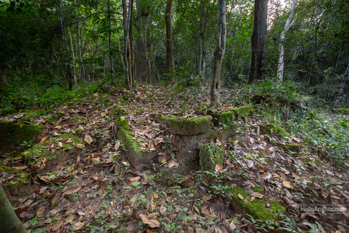
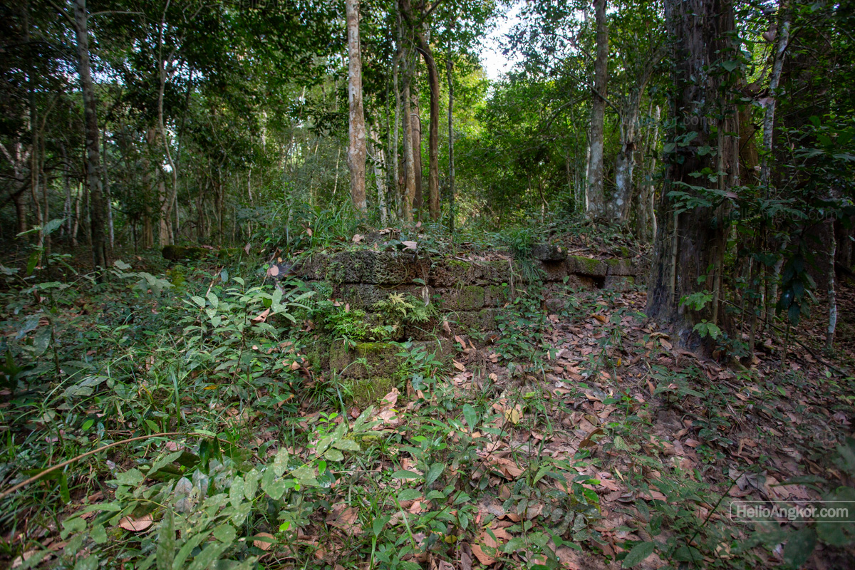
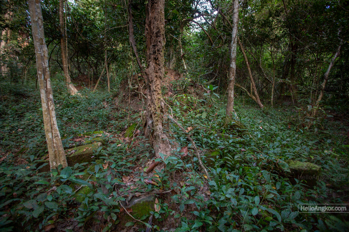
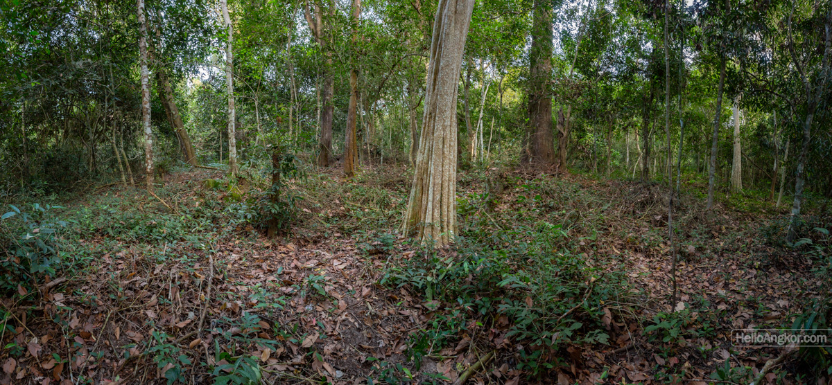
The site is the easternmost of three structures in “Groupe 5” and is situated on the western bank of the Trapaeng Rong Damrey (Elephant Pond) as noted in Henri Marchal’s observational study in 1918. In current research at the site, they note it is surrounded by an earthen embankment wall, numerous smaller ponds, and occupation mounds. It’s a battle walking through the surroundings of the area due to the overgrowth, but you can certainly sense the past occupation, which is reinforced by the undulations of land forming as mentioned.
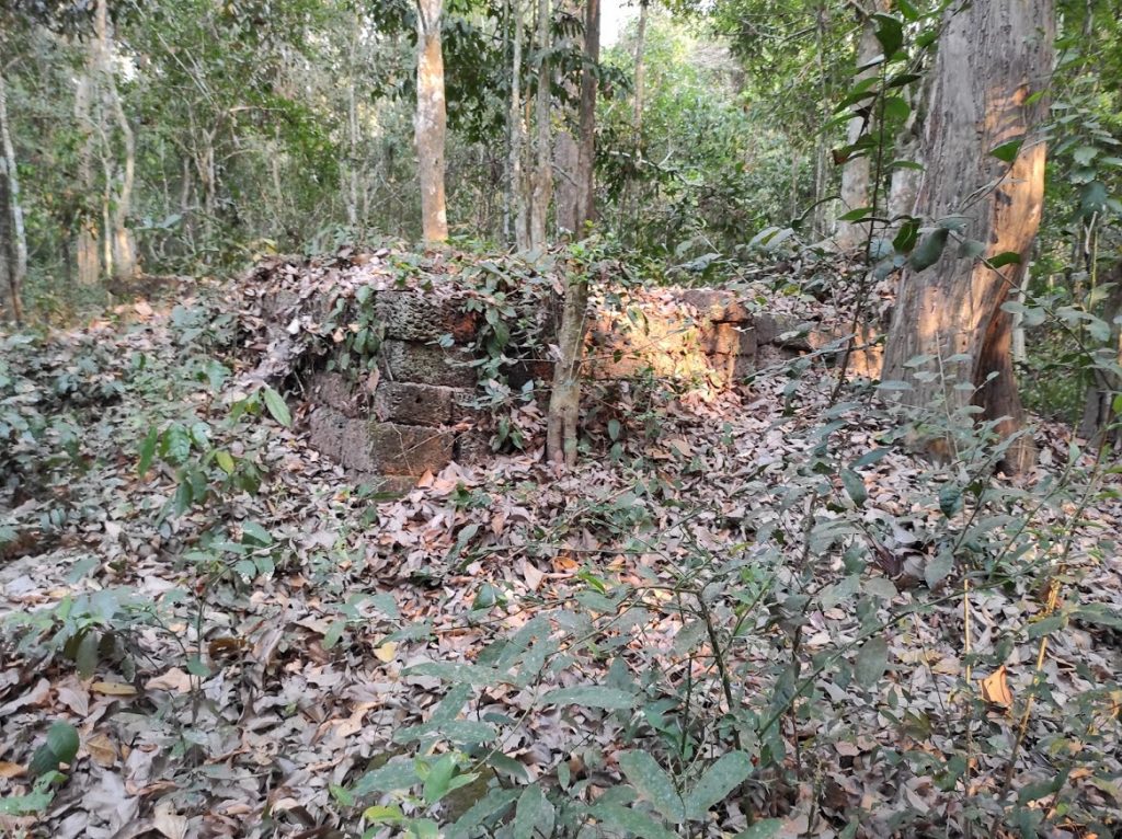
The research notes the east-facing Buddhist Terrace measuring 27.2 x 10.2m with much of the structure being destroyed or buried, evidenced by a large 5x6m hole where the central sanctuary pedestal originally stood. The terrace was built using laterite and recycled stone, with remains of brick and sandstone scattered across its western portion. Notably, roof tiles are found in abundance. A sandstone retaining wall was found to run along the northern boundary, with a set of steps located nearby.
On the north-west side of the terrace are the substansial remains of the base of a stupa with it speculated there was three more smaller stupas nearby of which only mounds and scattered remnants remain.
Sima (Boundary Stones)
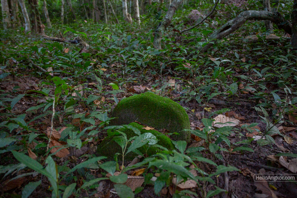
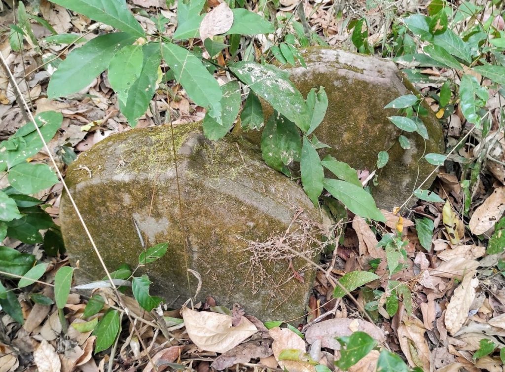
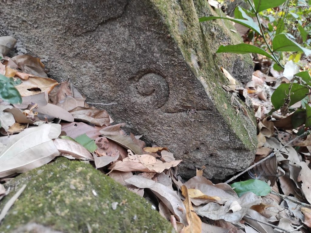
The ritual area of Theravada Buddhist sites is often demarcated by sima stones, often in pairs, located at cardinal and intercardinal points, as seen at many contemporary pagodas in the present day. Here, they found the structure to be demarcated by six pairs (6×2) of sandstone sīma. They are of a leaf-shape without external decoration and measure 1.15 x 0.5 x 0.12m. In this case, they note that they marked the subcardinal boundaries as well as the northern and southern extremities of the terrace.
Highlights of Excavation Findings
- Excavations around the southeast sīma uncovered a large volume of Chinese ceramics, Buriram stoneware, and local earthenware jar and roof-tile fragments.
- Deep layers (110-120cm) yielded an intact earthenware jar rim with embedded charcoal.
- An unidentifiable object resembling a tooth was found 10cm northeast of the northern sīmā.
- A manmade pit contained significant volumes of earthenware, which was ruled out as a burial pit due to the absence of burnt matter.
- A trench was also created to investigate a laterite-inlaid mound believed to be one of three stupas built along the southern boundary of the site.
Chronology and History
It gets quite fascinating. Radiocarbon dating (from charcoal samples) indicates the original occupation of the site occurred during the 11th century. Interestingly, ceramics and roof tiles were in the proximity of these charcoal samples. This dating, concurrent with the era of the Baphuon temple only provides an original occupation date, perhaps as habitation rather than a religious edifice, and not a date for the construction of the terrace remains that can be witnessed at the site today. Other nearby Buddhist Terraces have presented evidence of a 14th c date, although phases of construction/redevelopment may broaden that substantially. There is still more to come!
Images Dec 2023
Images – March 2021
Historical Notes
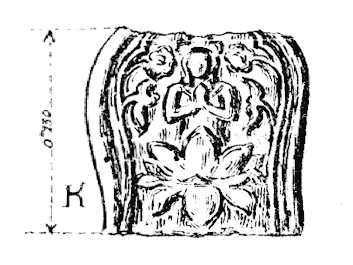
East of the trapân rôn damrëi, on a square plot of land measuring about 30 meters per side and bounded by semas, are almost shapeless structural remains. Among the best preserved, in the N.W. corner, is the square base of a small laterite building – a cetdëi or a small prasat – 5 meters per side, showing traces of an eastern stairway. The walls, still standing one meter high, appear to be simple rough-hewn stone with a flare at the base. A few fragments of very crudely made Buddhist statuettes were found nearby.
South of this small building, a line of sandstone – a type of border placed directly on the ground – joins a small mound where a few scattered sandstone blocks appear, though no legible floor plan can be identified. Ten meters east of this mound is a second, similar heap of blocks of equally unclear form. Finally, about twenty meters north of the latter and ten meters east of the first laterite building, is the remnant of a sandstone pedestal. Among the debris on the ground is a glazed tile depicting a small deity praying on a lotus flower (Pl. XI K).
1918, Marchal, Monuments Secondaires et Terrasses Bouddhiques d’Angkor Thom
Map
Site Info
- Reference ID: HA17016 | Last Update: February 21st, 2026
- Site Name: Angkor Thom (Groupe de terrasses) - Rông Damrei
- Other Names: Monument 1
- Location: Siem Reap Province > Krong Siem Reab > Sangkat Nokor Thum
- Inventaire Khmer IK: 471.25
- MoCFA/EFEO Inventory - CISARK: 4725
- Angkor Vihara Project - AVP: ATV027
- Georges Trouvé Inventaire - GT: 25
- Tags/Group: Angkor, Angkor Thom, AVP, Buddhist Terrace
Bibliograghy
- 1918, Marchal, Monuments Secondaires et Terrasses Bouddhiques d'Angkor Thom, p. 17 (Site: Groupe #5)
- 2019, Harris,Soeng, Angkor Vihara Project, Activity Report, 2019 Field Season
- 2022, Harris, Towards a temporal assessment of Angkor Thom’s Theravada “Buddhist Terrace” archaeology
- 2022, Shimodo, A Typological Study of Theravāda Buddhist Monasteries in Angkor Thom, Cambodia
