
- Area: Siem Reap Province > Krong Siem Reab > Sangkat Nokor Thum
- | Type: Ancient Remains & Temples
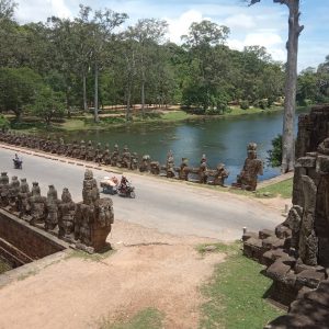
The grand outer enclosure wall of Angkor Thom is 3 km square constructed of laterite and further supported by an inner earthen buttressing. The enclosure has five monumental gates preceded by causeways that cross the 110m wide outer surrounding moat. The five gates are covered here: South Gate (Tonle Om), West Gate (Thvear Ta Kev), North Gate (Thvear Ta Nok), Victory Gate (Thvear Chey), and East Gate (Gate of the Dead or Thvear Khnoch).
The wall itself is a massive 8m high and ten meters wide, and, it’s also possible to walk or ride a bike around the top of the wall which leads to temples at each corner known as Prasat Chrung. More about the Angkor Thom Wall Trail.
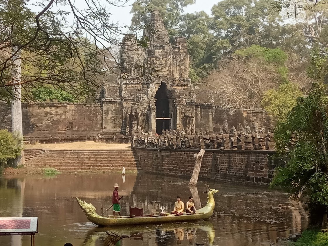
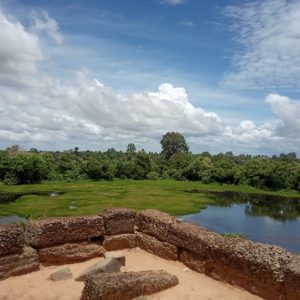
At Angkor Thom South Gate, you can buy tickets and take a gondola ride around the southwest corner of the moat which is the most beautifully maintained section of the moat. The moat was not only a stunning visual feature and an integral part of religious symbolism, but it would also appear that the moat was also very functional in supporting the habitation of Angkor Thom as part of its overall water management system.
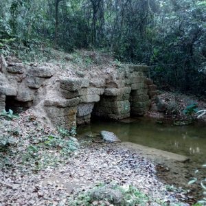
Water for Angkor Thom comes via its outer moat through a tunnel in the northeast corner of the outer wall which would have then flowed through an internal hydraulic network being assisted via a gradual slope downward from the northeast to the southwest[1]. In the southwest is where you can find what is believed to be the outlet, known as Rong Ta Dev.
Interestingly, the outer moat is divided into sections by each of the five ‘bridges’ that enter Angkor Thom as interconnecting channels between these sections have not been found. Archeological studies indicate that there was also an internal moat that did have interconnections at several points, also joining into the water passages flanking the inner causeways and to the water network feeding into the Ryal Palace. The seemingly complex hydraulics of Angkor Thom is still a field of ongoing discovery and research.
Gallery
1. PRECISE VISUALIZATION METHOD FOR CULTURAL HERITAGE-THE CASE OF HIGH-RESOLUTION READ RELIEF IMAGE MAP USED FOR STUDY OF ROYAL CITY OF ANGKOR THOM, CAMBODIA – T.Chiba, Shimoda, T. Haraguchi, M. Shimoda
Map
Site Info
- Reference ID: HA11653 | Last Update: January 1st, 2026
- Site Name: Angkor Thom (Enceintes et douves) | Khmer: អង្គរធំ
- Other Names: Angkor Thom (Enclosures and moats), Angkor Thom., Enceinte (Angkor Thom)
- Location: Siem Reap Province > Krong Siem Reab > Sangkat Nokor Thum
- Inventaire Khmer IK: 471
- MoCFA/EFEO Inventory - CISARK: 369
- Monuments Historiques - MH: 363
- Tags/Group: 1926MH, Angkor, Angkor Thom, Lajonquiere, MH, Temples
Historical Inventories of Angkor Thom (Enceintes et douves)
- 1911, E. Lunet de Lajonquière, Inventaire descriptif des monuments du Cambodge, Tome III, pg. 9 (IK #: 471 Site Name: Enceinte (Angkor Thom) Region: Srok Siemreap, Khet Siemreap)
- 1926, Liste des Monuments Historiques, #: 363 Site: Angkor Thom. - Laterite enclosure, sandstone gates preceded by causeways with giant balustrades Region: Siemréap