- Area: Siem Reap Province > Krong Siem Reab > Sangkat Nokor Thum
- | Type: Ancient Remains & Temples
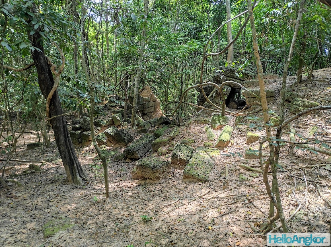
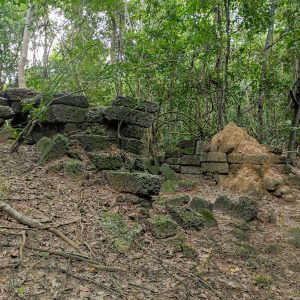
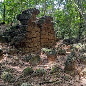
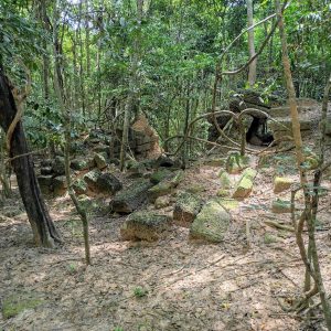
A laterite bridge that is around 9m wide with remains extending lengthwise for around 26m, while there are scant remains, it may have been originally around 45-50m long. It runs north-south and crossed the old Siem Reap river. It would not seem necessarily related to the ancient road network of the empire and with the Jayatataka Baray on the north and the East Baray on the south, its placement is quite a curiosity. One might guess that it at least pre-dates the baray to the north and looking at the decayed nature of the laterite it may easily be so. (Thanks goes to S. Lidgely and L. Dambies for pointing this one out!)
Map
*Important: mapped location may only be approximated to the district level/village only. To visit sites outside the tourist zones you should seek a local guide from the area read more.
Site Info
- Site Name: Spean Khmer Name: ស្ពាន
- Reference ID: HA13403 | Posted: January 20, 2021 | Last Update: August 21st, 2021
- Tags/Group: Ancient Bridges, Angkor, Temples
- Location: Siem Reap Province > Krong Siem Reab > Sangkat Nokor Thum
- MoCFA ID: 2679
- IK Number: 522.04


