- Area: Preah Vihear Province > Kuleaen District > Srayang Commune > Koh Ker Village
- | Type: Ancient Remains & Temples
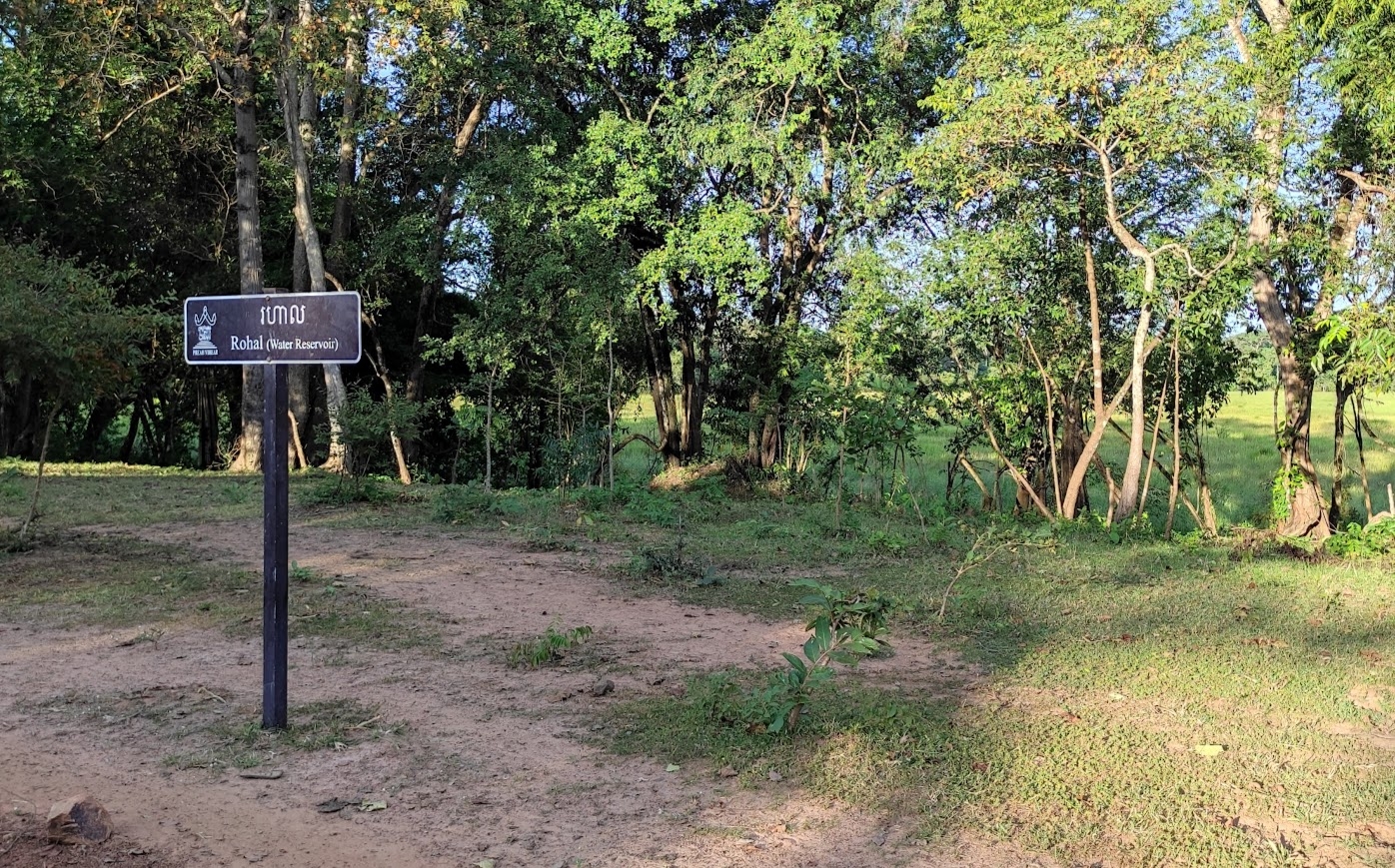
Also recorded as Rahal. Whilst there is not much to see today, in the heydey of ancient Koh Ker this large basin (baray) would have been a pivotal feature at the center of Koh Ker group measuring approx. 1200 m long and 600 m wide. It is noted by researchers that the outlying streams and water catchments led here via the linga temples that would have sacralised the water on entering. It also featured an island at the center.
Henri Parmentiers description from L’Art khmèr classique , monuments du quadrant Nord-Est, 1939
Rahal 272 (M.H. 262).
I will simply repeat the very exact description of L. de Lajonquièr by completing it or correcting it in italics on a few points: It is elongated along an axis directed N. 15° W.-S. 15° E. “a vast reservoir measuring 1,200 m. along its main axis and 560 m. on the perpendicular axis. It was not created from scratch and is only a very judicious development of the land. The E. and S. sides are in effect provided by the gently sloping undulations of the ground, intersecting at right angles. In this corner comes a small intermittent stream which, in the rainy season, collects water from the surrounding hills. The N. and W. sides of the reservoir are formed by dykes which in some places are over 50 meters wide at the base. The overflow of the reservoir flowed towards the N.-E. 515 meters from the track by a laterite lock of which only a few vestiges remain, the rest having been carried away by the stream which has resumed its normal course; as a result the bottom of the lake is no longer covered with water in the rainy season except towards the W angle. at the intersection of the two levees, the rest has been largely reclaimed little by little by bush and the forest. The lock at this time no longer offers anything recognizable. On the same N. levee at 285 m. of the track that passes over the O levee are the traces of a shapeless ruin. At 310m. from the N.-W. angle of the levees. a section of laterite masonry, still standing above a depression which intersects the W dyke, seems to me to be the main spillway. It should not be forgotten that these barays are large irrigation basins and it is only natural that they offer several water outlets; that which was pointed out by L. de Lajonquière may moreover have been, as he says, a simple overflow. At 100 m. to the west of the runway, the plane survey shows clumps of trees oriented in the direction of the Rahal and which draw like the levees of a small ensemble facing the lake at the height of its N part; but this may only be an appearance, and we learned of this point too late to be able to examine its nature.
Map
Site Info
- Site Name: Rahal Khmer Name: រហាល
- Reference ID: HA11555 | Posted: January 18, 2021 | Last Update: May 4th, 2022
- Tags/Group: Koh Ker, rc, Temples
- Location: Preah Vihear Province > Kuleaen District > Srayang Commune > Koh Ker Village
- MoCFA ID: 266
- IK Number: 272

